Note: in order to run this demo, you'll need a browser that supports WebGL, such as the latest version of Chrome. A desktop browser is reccomended.
Click and drag to rotate the camera, right-click and drag to rotate the camera, use the mouse wheel to zoom in and out, and use the dropdowns underneath to switch between different training sets (which determine the details of the terrain) and different base maps (which determine the overall shape of the terrain).
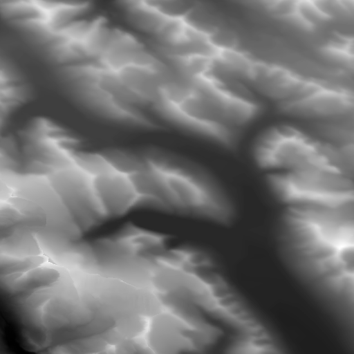
The terrain samples here were each generated by treating the terrain as a 2D signal, and combining the high-frequency components of the training set with the low-frequency components of the base map.

Training data for this demo courtesy of the Government of Canada's GeoBase, the U.S. Geological Survey, and Wolfire Games.